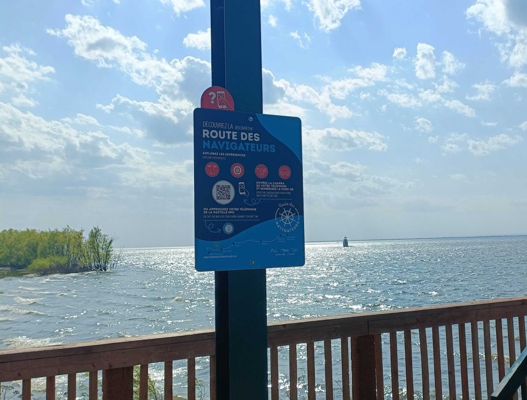
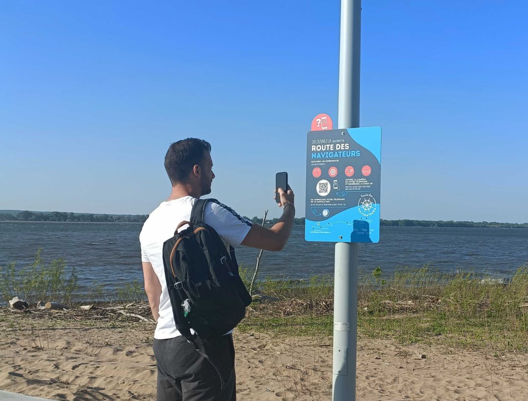
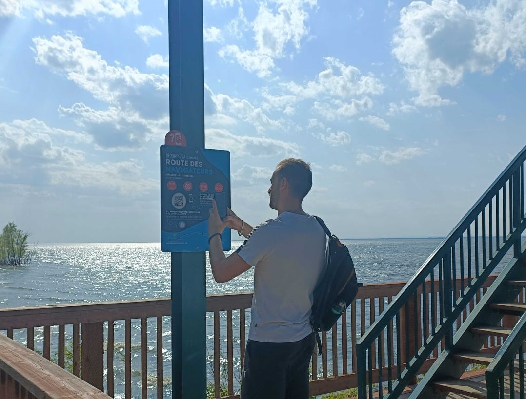
La Route des Navigateurs accompanies travellers in their discovery of tourist attractions
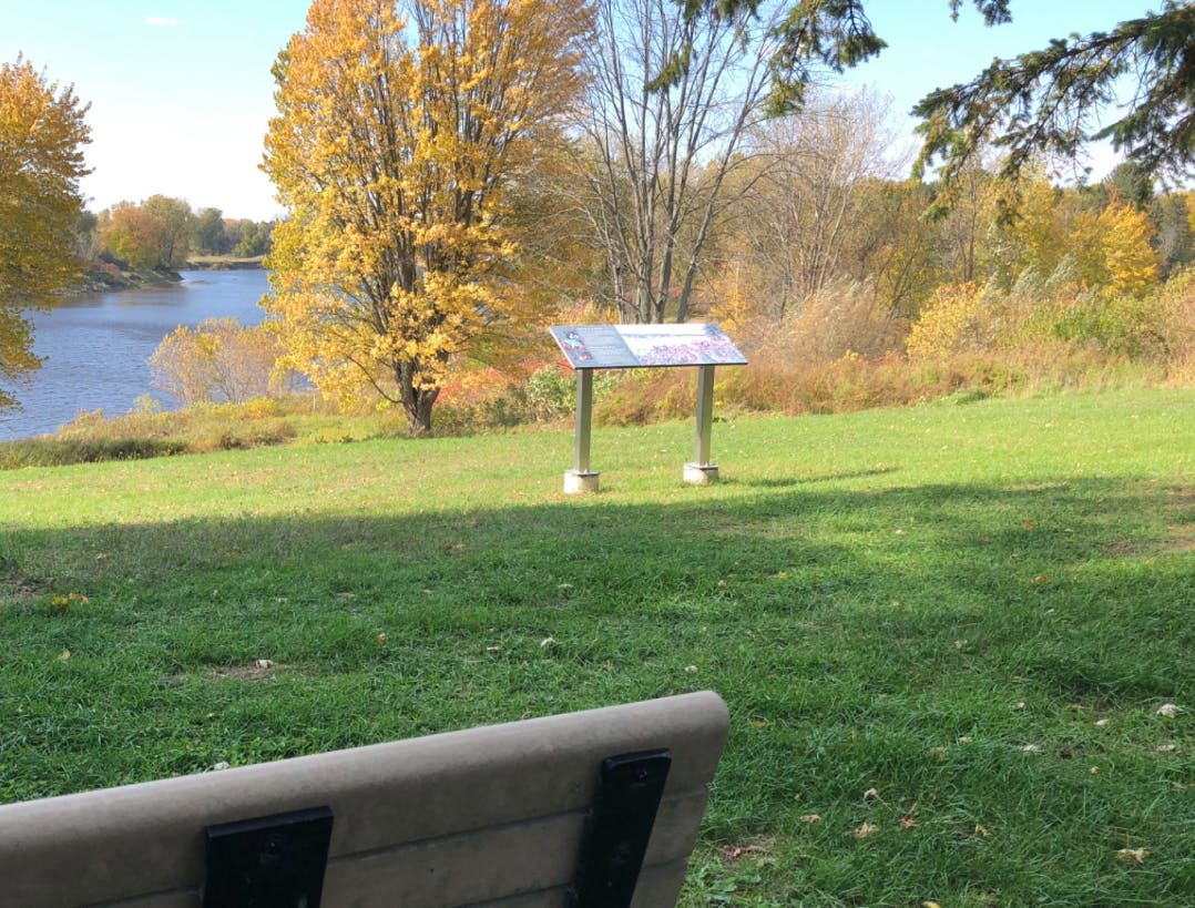
A route shared by several tourism organizations
The Route des Navigateurs is a tourist route that follows the route of Highway 132. It crosses three of Quebec's tourist regions: Centre-du-Québec, Chaudière-Appalaches and Bas-Saint-Laurent. Covering a distance of 470 kilometers along the St. Lawrence River, it offers a wealth of tourist attractions.
To provide the best possible accompaniment for passengers on this route, two tourism organizations from the regions it crosses have collaborated to offer nine discovery itineraries, which can be found on the Route des Navigateurs website. Each itinerary offers a thematic discovery of the region.
But once on the road, how do you accompany these travellers on their touristic discovery without losing them on the website?
An enriched user experience
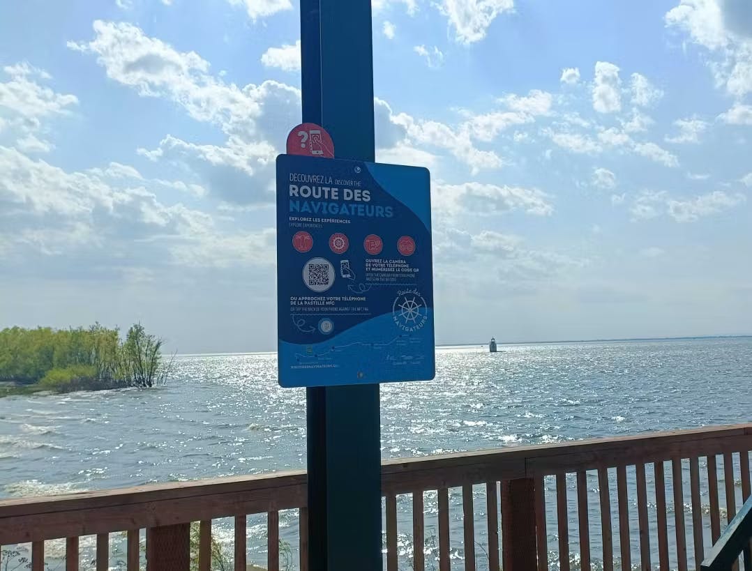
The idea of the tourist offices was to install interactive panels at various points along the route. These panels feature a QR code and NFC chip inviting visitors to discover the Route des Navigateurs experiences.
Using their phones, visitors can access content related to the environment around them. They can learn more about Rivière-du-Loup, Kamouraska, or the Parc Eco maritime de l'Anse-du-Port thanks to action buttons that link to specific attractions, and also provide access to an interactive map redirecting them to other points along the route.
On a single panel, the three tourist regions through which the Route des Navigateurs passes are represented, encouraging visitors to broaden their spectrum of discovery.
More about this project
La Route des Navigateurs: the fruit of a shared platform
View case study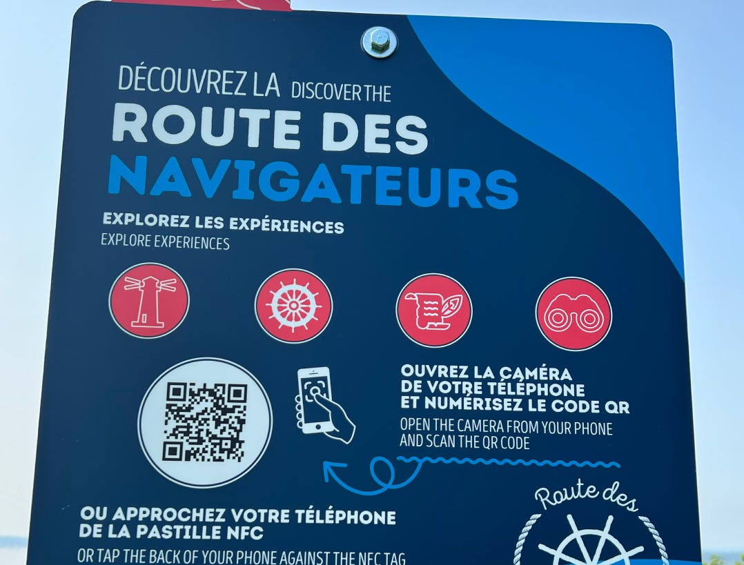
La Route des Navigateurs improves with digital technology
View case study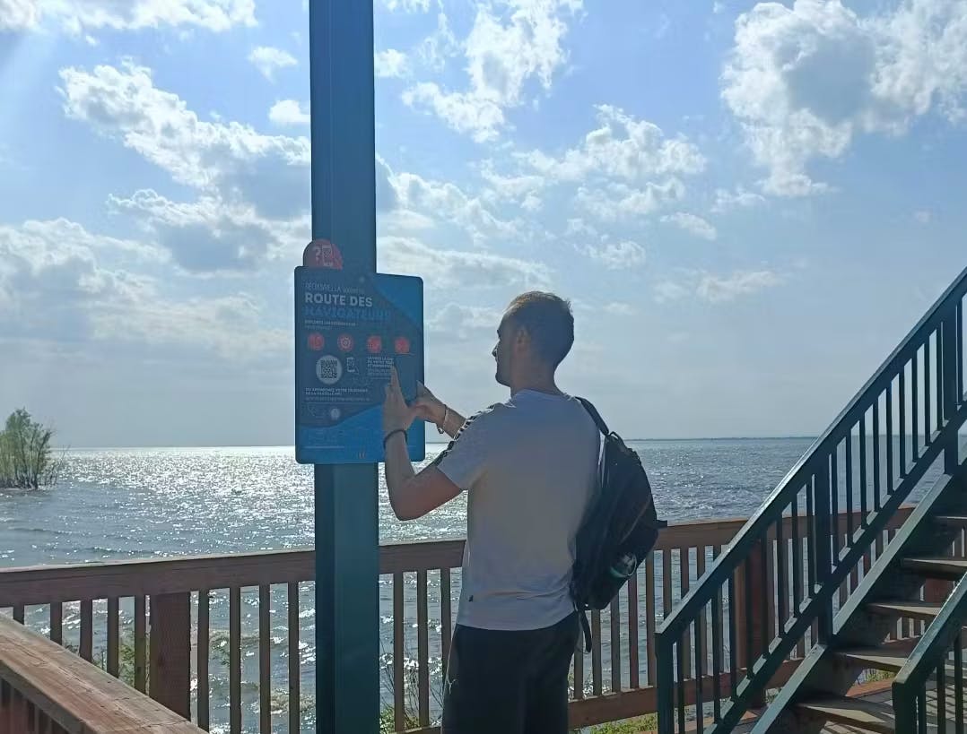
Promoting the Route des Navigateurs
View case study